
CIRS Faculty Lectures, Dialogue Series
Mapping the Mongol Steppe: Indigenous Cartography and Statecraft in 19th Century Qing China
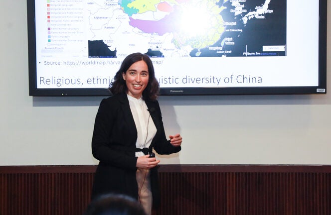
Speaker: Anne-Sophie Pratte, Georgetown University in Qatar
Location: CIRS Conference Room, Georgetown University in Qatar
On January 31, 2023, Anne-Sophie Pratte, Assistant Professor of History at Georgetown University in Qatar, delivered a CIRS Dialogue titled “Mapping the Mongol Steppe: Indigenous Cartography and Statecraft in 19th Century Qing China.” Pratte argued that multiple historically meaningful “exchanges between various populations of Eurasia took place thanks to a specific ecological zone: the Steppe belt of Eurasia. The steppe belt makes long distance travels the easiest,” and so Mongolia became a vast contact zone for all kinds of trade, cultures, religions, ideas, but also conflicts, between networks of people from the Qing Empire to Eurasia.
In eighteenth-century imperial cartography, “despite their size and strategic geographical location at the crossroads of two major early modern empires, the Mongol lands remained mostly blank on these world maps, reflecting how little geographical knowledge flowed out of Qing Mongolia to be incorporated into the imperial cartography of the early modern world,” Pratte noted.
Instead, “local Mongol maps followed an indigenous system of geographical correspondence” and an intimate local knowledge of the terrain was exhibited by both nomadic and pastoral communities as an important means of navigating the broad expanses of the Mongolian Steppe. These were sketched for past and future generations in a series of sophisticated hand-drawn maps, which Pratte discussed in detail during her talk. She argued that “from the perspective of Mongol mapmakers, the maps of their land, just like their history, was not blank at all. The maps they drew in the Qing era were rich, detailed, artistic, and diverse,” and numbered in the thousands. Importantly, indigenous Mongols “envision their land differently. And the maps they produce give us a unique window into this worldview,” which does not distinguish between the natural and political geography of the region.
Pratte discussed a central dilemma: “Mongol officials drew maps of their land, and submitted them to the central state in Beijing. And yet, this layer of geographical knowledge never featured in imperial atlases. Why that was is the question that began this research project.” She answered this question by noting that the complex sophistication of Mongol mapping, and its relationship to the lived experience of the land, made it alien to normative imperial cartography, which discounted such local knowledge, no matter how rich and informative, if it did not fit the abstract, geometric, simplified, and standardized maps of the imperial age.
Pratte concluded by noting that the National Archives of Mongolia and the Central Library in Ulaanbaatar contain millions of materials documenting pastoralist society in world history, and so “there remains lots of work to be done to incorporate these voices into our understanding of Eurasian History.”
Anne-Sophie Pratte is an assistant professor of history at Georgetown University in Qatar. She specializes in the early modern history of China and Inner Asia, with a focus on historical cartography, China-Mongolia relations, and environmental history. She previously held a postdoctoral fellowship from the Social Sciences and Research Council of Canada and was a visiting scholar at the Fairbank Center for Chinese Studies at Harvard University. She completed her PhD in Inner Asian and Altaic Studies at Harvard University and her M.A. in East Asian Studies at McGill University. Her research was published in Late Imperial China (Dec. 2022) and in Études Mongoles et Sibériennes (2022). She also directed the making of an interactive Manchu historical map for the Norman B. Leventhal Map & Education Center at the Boston Public Library (2021).